KI-Challenge Ergebnisse: Region Stuttgart
„Green AI – Leben im Klimawandel“
Erfahren Sie hier mehr über die Ergebnisse der KI-Challenge in der Region Stuttgart. Und werden auch Sie Teil unserer Community!
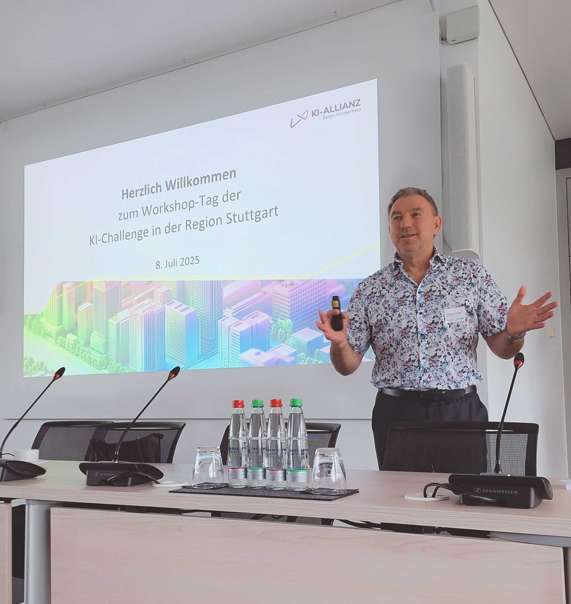
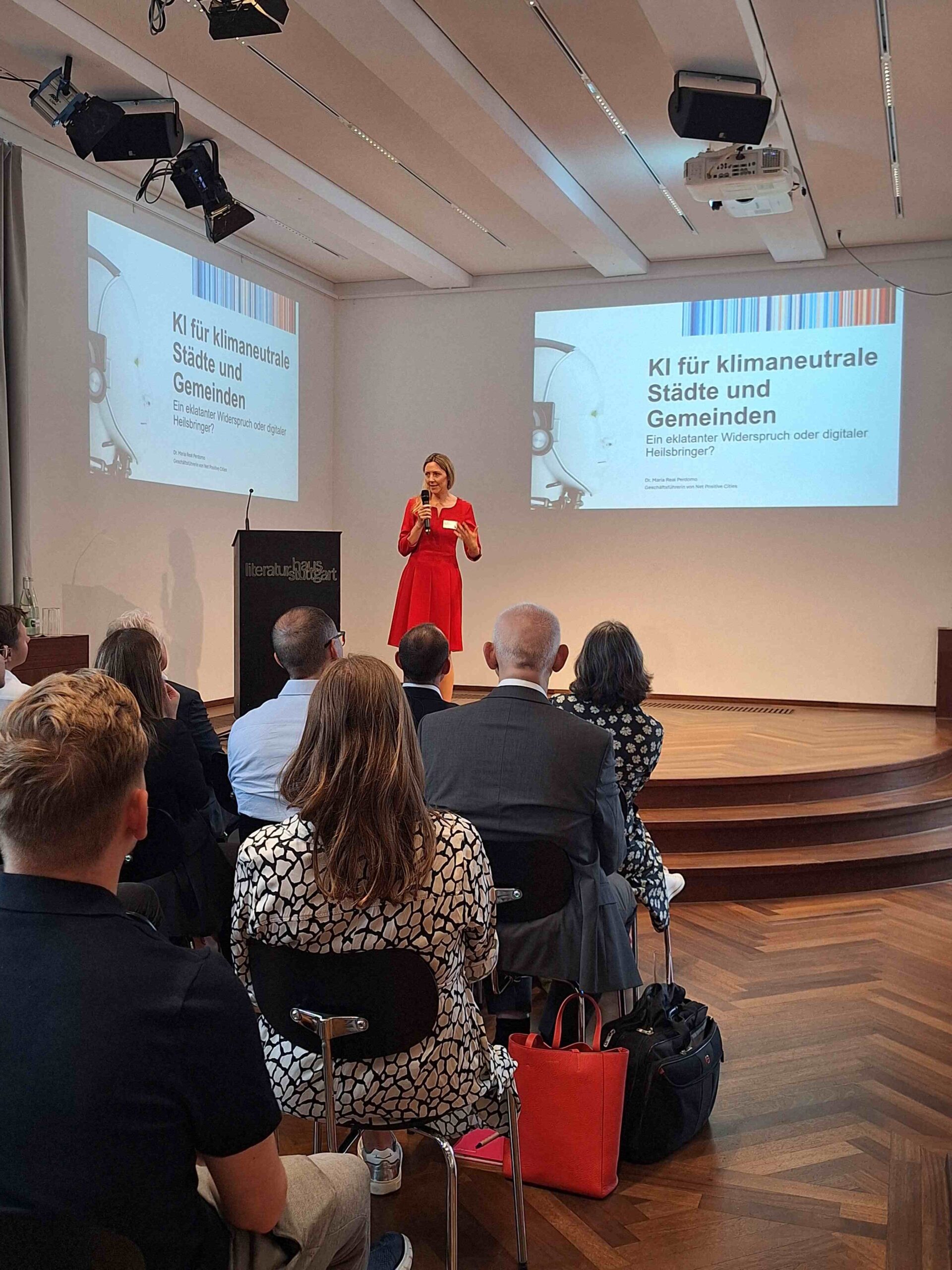
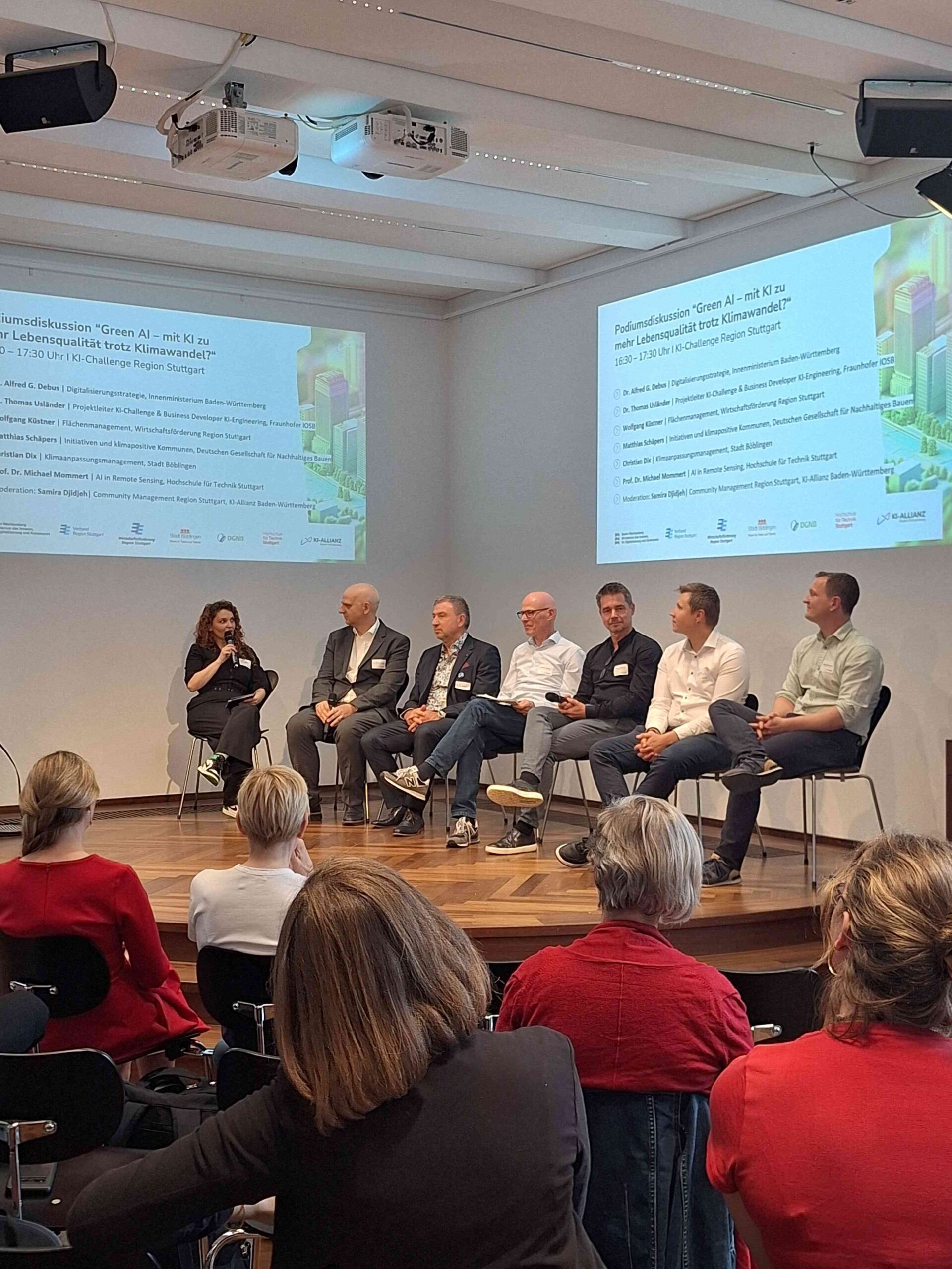
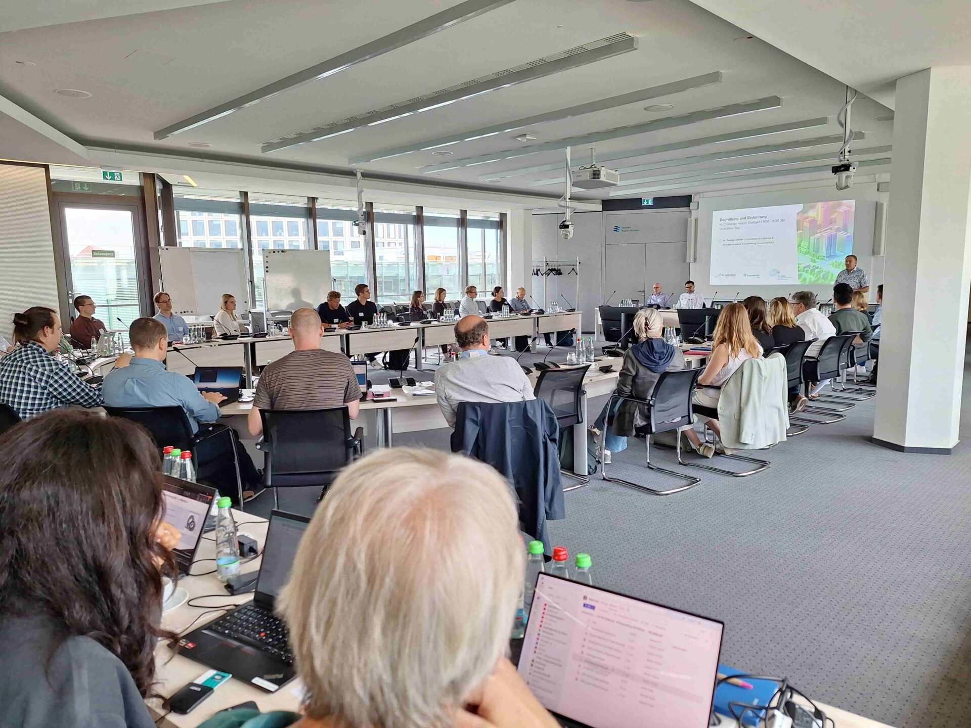
"Green AI - Leben im Klimawandel"
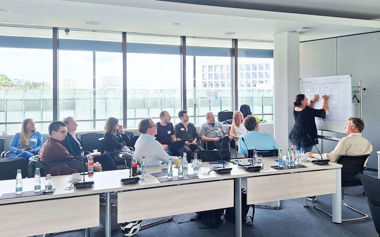
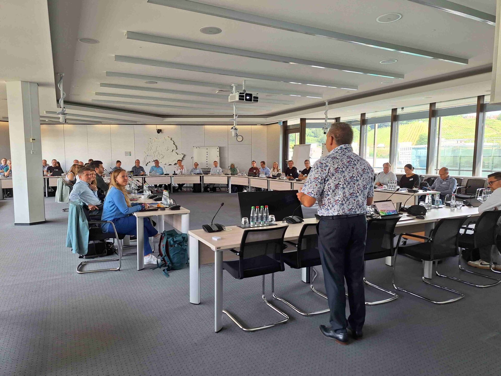
Die KI-Challenge bringt Akteure aus der Region Stuttgart und darüber hinaus zusammen, um gemeinsame, reale Herausforderungen anzugehen.
Sowohl der fachliche Austausch unter der systematischen Führung von Expert:innen als auch die direkte Verknüpfung relevanter Akteure unterstützen nachhaltig die Entwicklung der KI-Community Baden-Württemberg.
Die Vorstellung der Ergebnisse dient dem weiteren Wissensaustausch und als Anknüpfungspunkt für interessierte Akteure – seien es Anwender, Entwickler oder Intermediäre. Werden auch Sie Teil unserer Community!
KI-Challenge Partner-Netzwerk Region Stuttgart
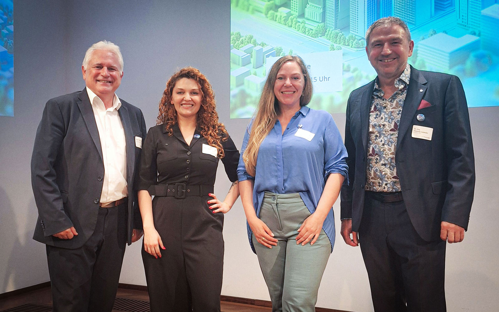
Die KI-Challenge der KI-Allianz Baden-Württemberg wird in der Region Stuttgart von dem Community Management der KI-Allianz Baden-Württemberg und dem Fraunhofer IOSB in enger Zusammenarbeit mit unseren regionalen Netzwerk-Partnern veranstaltet.
Zusammen bringen wir unsere Region mit nachhaltigen KI-Lösungen voran und stärken das regionale KI-Ökosystem. Nutzen Sie die Chance und machen auch Sie mit. Werden Sie Teil unserer Community!
Warum "Green-AI" als Thema?
Der Klimawandel ist in der Region Stuttgart und darüber hinaus längst spürbar: Hitzewellen belasten die Städte, Starkregen überfordert die Infrastruktur, und Freiflächen sind knapp. Gleichzeitig hat die Region enormes Potenzial – mit starker Forschung, innovativen Unternehmen und engagierten Kommunen.
In der KI-Challenge haben wir genau dieses Potenzial gebündelt: Gemeinsam wurden innovative Ideen entwickelt, wie Künstliche Intelligenz helfen kann, mit den Folgen des Klimawandels besser umzugehen. Vom frühzeitigen Erkennen von Hitze-Hotspots bis zur gezielten Planung von Anpassungsmaßnahmen – es entstanden erste Lösungsansätze mit echtem Mehrwert für die Region.
Die Challenge war damit ein wichtiger Startpunkt: Die besten Ideen können jetzt weiter ausgearbeitet und in konkrete Projekte überführt werden.
Green AI: Themenstränge und Ergbnisse
Mit der gemeinschaftlichen Entscheidung für das Thema „Green AI – Leben im Klimawandel“ für die Region Stuttgart wurden die folgenden Themenstränge definiert, die zentrale inhaltliche Kontenpunkte adressieren. In interaktiven Workshops wurden Lösungsansätze entlang dieser vier zentraler Themen entwickelt – alle mit direktem Nutzen für die Region Stuttgart. Erfahren Sie hier mehr!
Themenstrang 1: Analyse & Prognose der Wirksamkeit von Klimaanpassungsmaßnahmen
Mit KI lassen sich Klimaanpassungsmaßnahmen – etwa Begrünung, Hitzeschutz oder Mobilitätskonzepte – messbar machen und damit deren Wirksamkeit analysieren und prognostizieren. Für die Region Stuttgart bedeutet das, gezielt in Projekte zu investieren, die den größten Beitrag zu Lebensqualität, Gesundheit und Resilienz leisten.
Themenstrangleitung: Matthis Leicht (Fraunhofer IOSB)
Projektidee: #BaumLuft
ENTWICKLUNG
Projektziel
- Software für vorausschauende klimaangepasste Stadtplanung
- Auswirkungsanalyse für geplante Maßnahmen bzgl. Auswirkungen auf die klimatischen Bedingungen in der Umgebung
- Identifikation von Standorten für Maßnahmen nach größtem Effekt auch in Hinblick auf Machbarkeit
- Einbeziehung von Informationen aus Tiefbauamt, Netzbetreiber, …
- Visualisierung durch Kartendarstellung
ENTWICKLUNG
KI-System und Daten
- Karten-, Termperatur-, Tiefbau-, Netzdaten
- Historische Daten zu Klimaanpassungen
- Simulationsergebnisse
- Recommenation System
- Human Supervision
Wertversprechen
- Entscheidungshilfe
- Prozessbeschleunigung/ -vereinfachung
- Frühzeitige Konfliktvermeidung
- Zeitersparnis
- Besseres Stadtklima
- Bürgerbeteiligung
BETRIEB
Geschäftsmodell
- Software as a Services (SaaS)
- Kommunale Dienstleistung
BETRIEB
Ressourcen und Partner
- Datenbesitzer/ Behörden
- Dienstleister/ Anbieter/ Integrationspartner
- Kommunale IT-Abteilungen
- Bürgerschaft
Das Projekt #BaumLuft verfolgt das Ziel, ein KI-gestütztes Analyse- und Prognosetool für die klimaangepasste Stadtplanung zu entwickeln. Im Zentrum steht die Möglichkeit, sowohl die Auswirkungen konkreter Maßnahmen zur Klimaanpassung zu analysieren als auch geeignete Standorte mit besonders hoher Wirksamkeit und Machbarkeit zu identifizieren. Dabei werden umfangreiche Datenquellen wie Karten-, Temperatur-, Tiefbau- und Netzinfrastrukturdaten sowie historische Klimaanpassungsinformationen intelligent verknüpft.
Kernstück des Systems ist eine interaktive Kartendarstellung, die vielfältige Visualisierungen ermöglicht – von Wirkungsanalysen geplanter Maßnahmen bis hin zu Vergleichen von verschiednen Szenarien und Simulationsergebnissen. Planerinnen und Planer erhalten so eine transparente, visuell zugängliche Grundlage für fundierte Entscheidungen.
#BaumLuft bindet zudem Informationen aus Fachämtern, Netzbetreibern und anderen relevanten Stellen ein, um realitätsnahe Bewertungen zu ermöglichen. Ergänzt durch ein Empfehlungssystem mit menschlicher Supervision unterstützt das Tool kommunale Akteure dabei, Klimaanpassungsprozesse frühzeitig, nachvollziehbar und konfliktarm zu gestalten.
Das Projekt liefert damit einen wichtigen Beitrag zu einer strategisch vorausschauenden Stadtentwicklung. Es fördert bessere Entscheidungen, spart Zeit und Ressourcen und trägt zu einem gesünderen Stadtklima und einer stärkeren Bürgerbeteiligung bei.
Themenstrang 2: KI-basierte Wissensplattform für nachhaltige Gewerbegebiete
Eine digitale Plattform bündelt Wissen und aktuelle Daten zu Energie, Flächennutzung, Mobilität und Bürgerbeteiligung. So können Kommunen und Unternehmen in der Region Stuttgart ihre Gewerbequartiere klimafreundlich modernisieren, wirtschaftlich stärken und gemeinsam von Best Practices profitieren.
Themenstrangleitung: Thomas Usländer (Fraunhofer IOSB)
Projektidee: N-GE Twin
ENTWICKLUNG
Projektziel
- Abgestufte, modulares IT-System zur Planungsunterstützung für nachhaltige Gewerbegebiete
- Analyse- und Monitoring-Assistent
- Wissens-Assistent
- Lösungs-Assistent
- ergänzende Instrumente zu bestehenden GIS/CAD-Systemen auf der Basis von IT-Standardschnittstellen
ENTWICKLUNG
KI-System und Daten
- Retrieval Augmented Generation (RAG)-System
Subsysteme:
- Digitale Zwillingssystem der Kommunen
- KI-Datenplattform
- CAD/GIS (auf OGC-Standardbasis)
- LLM-System
- Dokumentanablagen
- IoT-Systeme (Zeitreihen,…)
- ggf. Sensorik
Wertversprechen
Effizienzgewinnung in der Planung nachhaltiger Gewerbegebiete
- Qualitätsgewinn, höhere Flexibilität
- Matching nach einheitlichen NH-Standards
- Vergleicbakeit und Übertragbarkeit sicherstellen
- Planung auf der Basis aktuell relevanter Daten
- Erfahrungswissen problemorientiert erschließbar machen
- Kompatibilität mit NH-Zielen (Land, Bund, EU) prüfen
BETRIEB
Geschäftsmodell
Abgestuftes Lizenzmodell (je nach Kundensegment und Größe)
- Kundensegmente:
- Kommunen (Stadtplanung, WiFoe, Klimamanager:innen, Nachhaltigeitsmanager:innen, Quartiersmanager:innen, …)
- Ingenieurbüros, …
- Landkreise, RP, Verbände, Landesministerien
BETRIEB
Ressourcen und Partner
1,5-3 M€ abgestuft, je nach Funktionalität
- abhängig von Voraussetzungen und Systemkonzept sowie Verfügbarkeit von Standards
- Projektfinanzierung
- PPP-Finanzierungsmodell
- Landesförderung
Die Planung von Gewerbegebieten und deren Weiterentwicklung im Bestand erfordert eine Vielzahl von Informationen aus unterschiedlichsten Bereichen. Die einzelnen Planungsschritte werden derzeit durch maßgeschneiderte IT-, CAD und GIS-Systeme unterstützt und abgebildet. Sollen nun zusätzlich Nachhaltigkeitsaspekte von vornherein berücksichtigt und damit die Gewerbegebiete ökologisch und ökonomisch aufgewertet werden, so erfordert dies weitergehende Fachdaten und Fachwissen u.a. aus den Bereichen Energie, Wasser, Klimaschutz, Mobilität, Flächenmanagement und Biodiversität.
Die Projektidee N-GE Twin adressiert die Entwicklung von maßgeschneiderten KI-gestützten Assistenzsystemen, die die Analyse, die Planung, das Monitoring und die Bewertung zielgruppengerecht unterstützen und in die bestehende IT-Landschaft eingebettet sind. Entscheidend ist hierbei, dass eine Vergleichbarkeit zwischen verschiedenen Gewerbegebietsszenarien und eine Übertragbarkeit der Vorschläge auf andere Gewerbegebiete möglich ist, so dass das KI-System aus dem Bestand und der Planungserfahrung lernen kann. Als Assistenzsystem soll die nach und nach entstehende Wissensplattform zudem die Kompatibilität mit den Nachhaltigkeitszielen der EU, des Bundes, der Länder und der Kommunen prüfen.
Themenstrang 3: KI-gestütztes Raummonitoring für die Region Stuttgart
Durch die Kombination von Geodaten, Satellitendaten und Umweltinformationen und deren Verarbeitung mittel KI-Verfahren entsteht ein dynamisches Lagebild der Region. Damit lassen sich lokale Hotspots wie Überhitzung in Innenstädten, Verkehrsstörungen oder Umweltbelastungen früh erkennen und gezielt gegensteuern.
Themenstrangleitung: Nadia Burkhart (Fraunhofer IOSB)
Projektidee: UrbanMind
ENTWICKLUNG
Projektziel
- Automatisierte Kartierung von Grünflächen und Hitzeinseln in Städten
- Identifikation von Versiegelung und Biodiversität
- Erkennung von Pflege- und Begrünungspotenzialen
- Unterstützung kommunaler Akteur:innen bei der Ableitung wirksamer Anpassungsmaßnahmen
- Integration in GIS, digitale Zwillinge und Planung
ENTWICKLUNG
KI-System und Daten
GeoAI-Plattform mit modularer KI-Architektur
Datenquellen: Satellitenbilder (Sentinel, Spot), Drohnendaten, Stadtinterne Geodaten (z.B. Bebauungspläne, Pflegekarten)
KI-Verfahren: CNNs für Bildklassifikation, Transfer Learning, GNNs für räumliche Beziehungen, LLMs mit RAG (z.B. zur Kontextaufbereitung), Green AI
Ergebnisproduktion: Web-Dashboards, Heatmaps, Empfehlungen
Wertversprechen
Entscheidungsunterstützung für die Stadtplanung
- Zielgerichtete Begrünung und Entsiegelung zur Hitzeminderung, Föderung von Biodiversität, Wasserbindung
- Erklärbare KI-Module für Transparenz und Vertrauen in automatisierte Raumbeobachtung
- Integration in bestehende Planungsprozesse und IT-Systeme
- Skalierbarkeit und Wiederverwendbarkeit für andere Städte/ Kommunen
BETRIEB
Geschäftsmodell
Lizenzierung der UrbanMind-Plattform (White-Label oder SaaS) Data-as-a-Service (Analyse, Dashboards, Reports)
- Integration in kommunale Projekte (z.B. Klimaanpassungskonzepte)
- Co-Funding durch Forschung und Innovationsförderung
- Langfristige Wartungs- und Weiterentwicklungsverträge
BETRIEB
Ressourcen und Partner
Schlüsselpartner:
- Kommunen und Stadtplanung
- Landesbehörden (Klimaanpassung)
- Forschungspartner
- Satellitendatenanbieter
- IT-Partner für Hosting, Schnittstellen, Infrastruktur
Fördergeber und Unterstützer:
- BMUV (ANK-DAS), BMBF, EU LIFE/ Horizon, Stiftungen, …)
UrbanMind ist eine Idee für eine neuartige KI-Plattform, die Städte und Kommunen dabei unterstützt, den Herausforderungen des Klimawandels gezielt zu begegnen. Im Mittelpunkt steht die Vision, modernste GeoAI-Technologien zu nutzen, um aus Satelliten- und Drohnendaten sowie städtischen Geoinformationen automatisch zu erkennen, wo Begrünung, Entsiegelung oder Biodiversitätsmaßnahmen den größten Nutzen bringen. Die Plattform würde mithilfe von Verfahren wie Convolutional Neural Networks, Graph Neural Networks und kontextbasierten Sprachmodellen aus komplexen Daten leicht verständliche Heatmaps, interaktive Dashboards und konkrete Handlungsempfehlungen generieren. Ziel ist es, Kommunen eine transparente, skalierbare und in bestehende Planungsprozesse integrierbare Lösung an die Hand zu geben, die datenbasierte Entscheidungen erleichtert und die Umsetzung wirksamer Klimaanpassungsmaßnahmen beschleunigt. UrbanMind ist damit nicht nur ein technisches Konzept, sondern ein Zukunftsbaustein für klimafitte, lebenswerte Städte.
Themenstrang 4: Kommunale & regionale Digitale Zwillinge
Virtuelle Abbilder von Städten und Regionen ermöglichen es, mithilfe von KI Szenarien zu simulieren – etwa zu neuer Bebauung, Energieinfrastruktur- oder Mobilitätskonzepten oder Begrünungsmaßnahmen. Für die Region Stuttgart heißt das: fundierte Entscheidungen treffen, bevor teure oder irreversible Maßnahmen umgesetzt werden.
Themenstrangleitung: Alexander Kröker & Reinhard Herzog (Fraunhofer IOSB)
Projekt: E-Infra Planning
ENTWICKLUNG
Projektziel
Vorausschaunde Energieinfratstrukturplanung mit folgenden Eigenschaften:
Beschleunigung
Automatisierung
Reduzierung der Kosten
Skalierung
Neue Einblicke
- Neue Zusammenhänge
ENTWICKLUNG
KI-System und Daten
- Neuronale Netze
- Hybride Verfahren
- Datenmanagement (Energiebedarf/ -verbrauch, Planung, …)
- Digitaler Zwilling der Energieinfrastruktur
Wertversprechen
Interoperabilität
Prognose
- Fundierte Entscheidungshilfe
- Darstellung des Gesamtbildes
- Effizienzsteigerung
- Beschleunigung
- Verbesserte Kollaboration
- Gemeinsames Verständnis
- Vorrausschauendes Planen
BETRIEB
Geschäftsmodell
- Lizenzeinnahmen
- Entwicklungsaufträge
- Fördermittelakquise
- Datenverkauf
- Sonderauswertungen
BETRIEB
Ressourcen und Partner
Kommunen und Intermediäre
Bauwirtschaft
Energieversorger
Planungsbüros
E-Infra Planning – Vorausschauende Energieinfrastrukturplanung – Eine KI-Plattform für die Energiewende
Die Idee hinter unserer Plattform ist es, eine datengetriebene Grundlage für die langfristige Planung von Energieinfrastruktur zu schaffen und den organisationsübergreifenden Datenaustausch zu standardisieren. Durch die intelligente Verknüpfung von Erzeugungs-, Verbrauchs-, Netz-, Markt- und Umweltdaten – stets mit höchster Qualität, Aktualität und räumlicher Auflösung – liefert das System ein umfassendes Bild des Energiesystems über politische Grenzen hinweg. Ein offenes, modulares Datenmodell sorgt für Interoperabilität und erleichtert die Integration neuer Datenquellen.
KI-gestützte Analyse- und Prognosewerkzeuge bewerten in Echtzeit verschiedene Ausbau- und Sanierungsszenarien für Netze, Erzeugungsanlagen und Speicher, quantifizieren ökologische, soziale und ökonomische Wirkungen und simulieren Last- und Erzeugungsprofile bis 2050. Transparente Workflows, offene APIs und interaktive Dashboards ermöglichen es Kommunen, Netzbetreibern und anderen Stakeholdern, fundierte und reproduzierbare Entscheidungen zu treffen.
So entsteht eine skalierbare Plattform, die Planungshorizonte verkürzt, Investitionsrisiken reduziert und den Weg zu einem resilienten, klimaneutralen Energiesystem entscheidend beschleunigt.
Impressionen "Green AI - Leben im Klimawandel"
- SWR-Interview (5:44min) mit Dr. Thomas Usländer, Projektleiter KI-Challenge / Fraunhofer IOSB: Green AI made in Stuttgart: Kann Künstliche Intelligenz das Klima retten? – SWR Aktuell
- Artikel: Auftaktveranstaltung der KI-Challenge Region Stuttgart: „Green AI – Leben im Klimawandel“ am 7. Juli 2025 in Stuttgart, KI-Allianz Baden-Württemberg eG, Story – PresseBox
Werden Sie Teil unserer Community!
Sie interessieren sich für unsere Inhalte oder die Herangehensweise? Sie möchten mit den beteiligten Akteuren und Expert:innen in den Austausch gehen? Gerne! Nehmen Sie Kontakt auf und werden Sie Teil unserer Community!
Das Community Management der KI-Allianz Baden-Württemberg verbindet gezielt Wirtschaft, Wissenschaft und Politik in den Regionen, um den Wissensaustausch und die Anwendung von KI-Technologien zu fördern.
Community Management Region Stuttgart:
Samira Djidjeh (samira.djidjeh@ki-allianz.de) & Anna Friederike Steiff (anna.friederike.steiff@ki-allianz.de)
Wir sind alle aufeinander angewiesen.
Johannes Arnold Oberbürgermeister der Stadt Ettlingen
Das Tolle an der KI (Künstliche Intelligenz) ist, dass ich viele Aspekte zusammenbringen kann.
Dr. Frank Mentrup, Oberbürgermeister der Stadt Karlsruhe
Wie kann KI uns helfen, die richtigen Fragen zu stellen?
Markus Wiersch, stellvertretender Geschäftsführer der Karlsruhe Marketing Event GmbH
Besonders an diesem Workshop-Format ist, dass die Anbieter keine Lösungen erarbeiten, die anschließend Anwendern angeboten werden können, sondern Anwender selbst direkt an der Konzipierung beteiligt sind.
Thomas Usländer, Projektleiter der KI-Challenge
Unser Plan ging auf. Die Teilnehmer:innen waren inspiriert von der Auftaktveranstaltung und es mangelte an Zeit, nicht an Ideen.
Akiza Hagami, Community Managerin der KI-Allianz Baden-Württemberg